Shelocta, Pennsylvania 15774 / September wedding scouting guide

Wedding and Bridal Photography Locations Near Shelocta

A click-through location package for bridal portraits, wedding-party photographs, groomsmen, bridal shower images, and fall-themed portraits within practical driving range of Shelocta.

Live Overview

The package keeps the approved map numbering from the report and adds direct links to each Google Maps listing, image source, and supporting source page.

10approved locations
30reference photographs
0-16 mipractical local range
Sep.fall portrait focus

Use the route link for a fast scouting loop. Use each location's Google Maps button for individual navigation and live place details.

Strongest Shortlist

Best first-pass choices when the photographer wants range, efficiency, and visual variety.

Blue Spruce Park

Best single public location for water, lawns, trees, and groups.

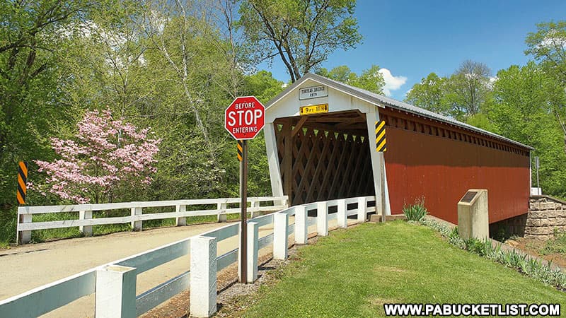
Thomas Covered Bridge

Closest distinctive historic structure with bridge, creek, and red timber.

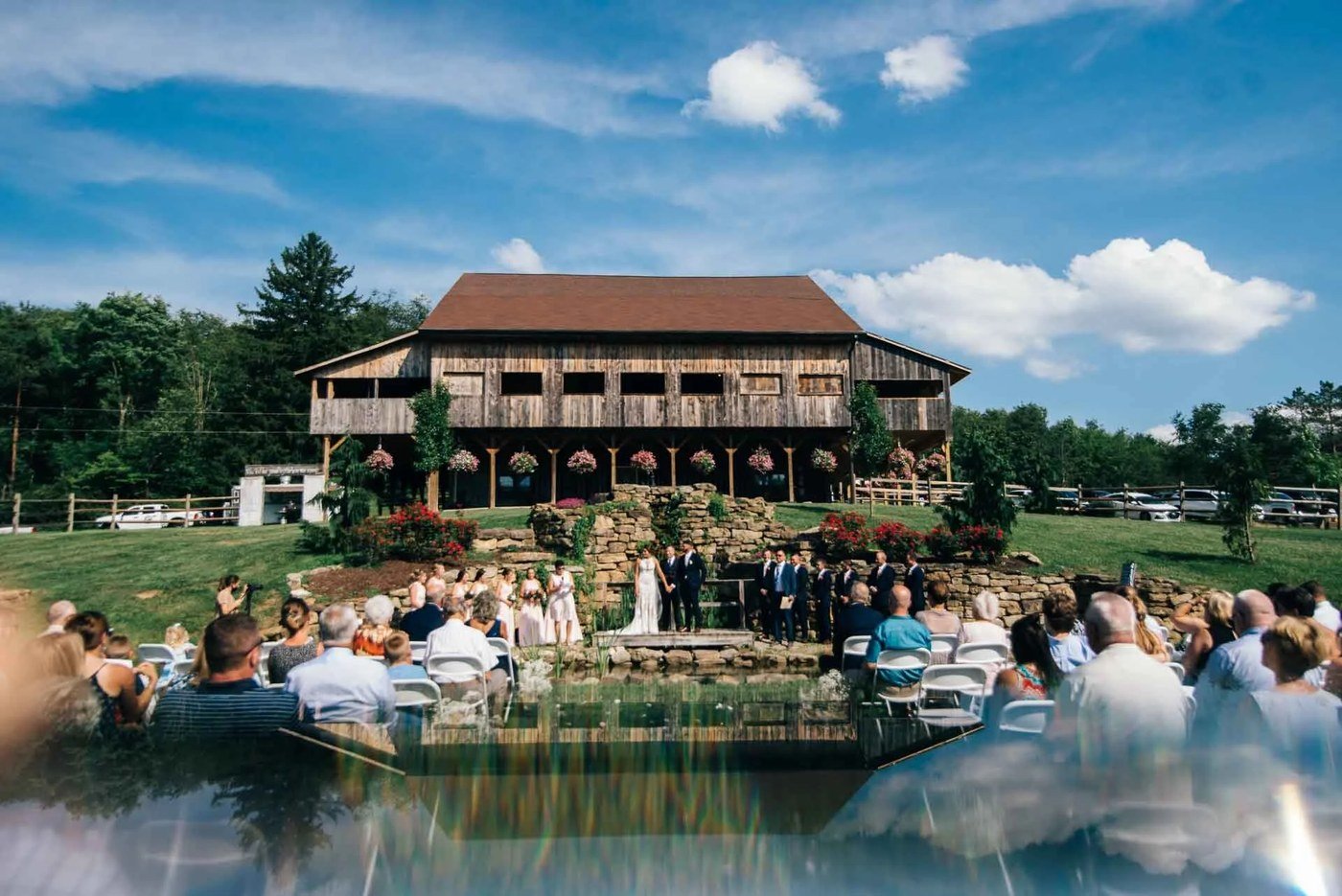
Fairman Family Farms

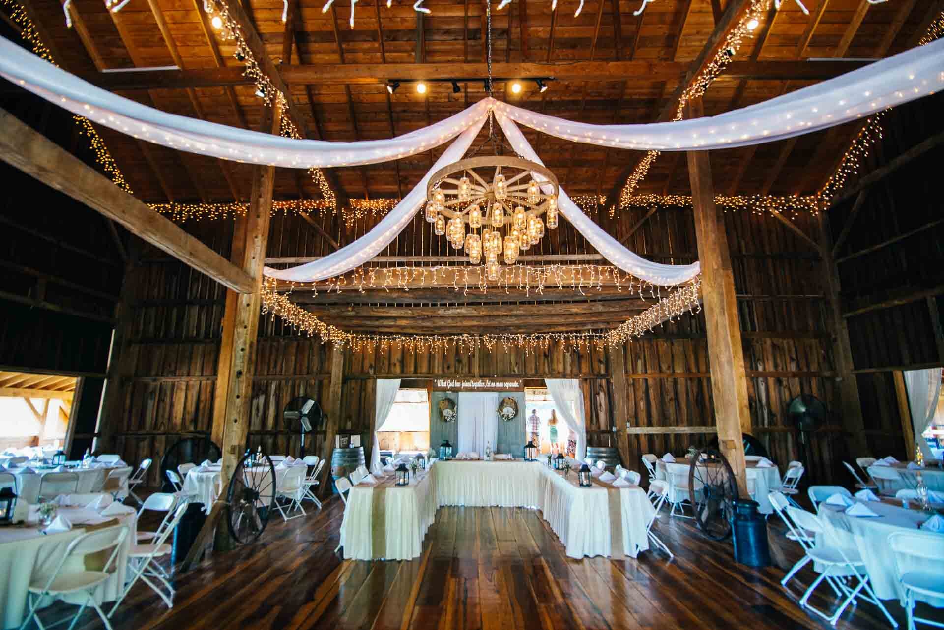
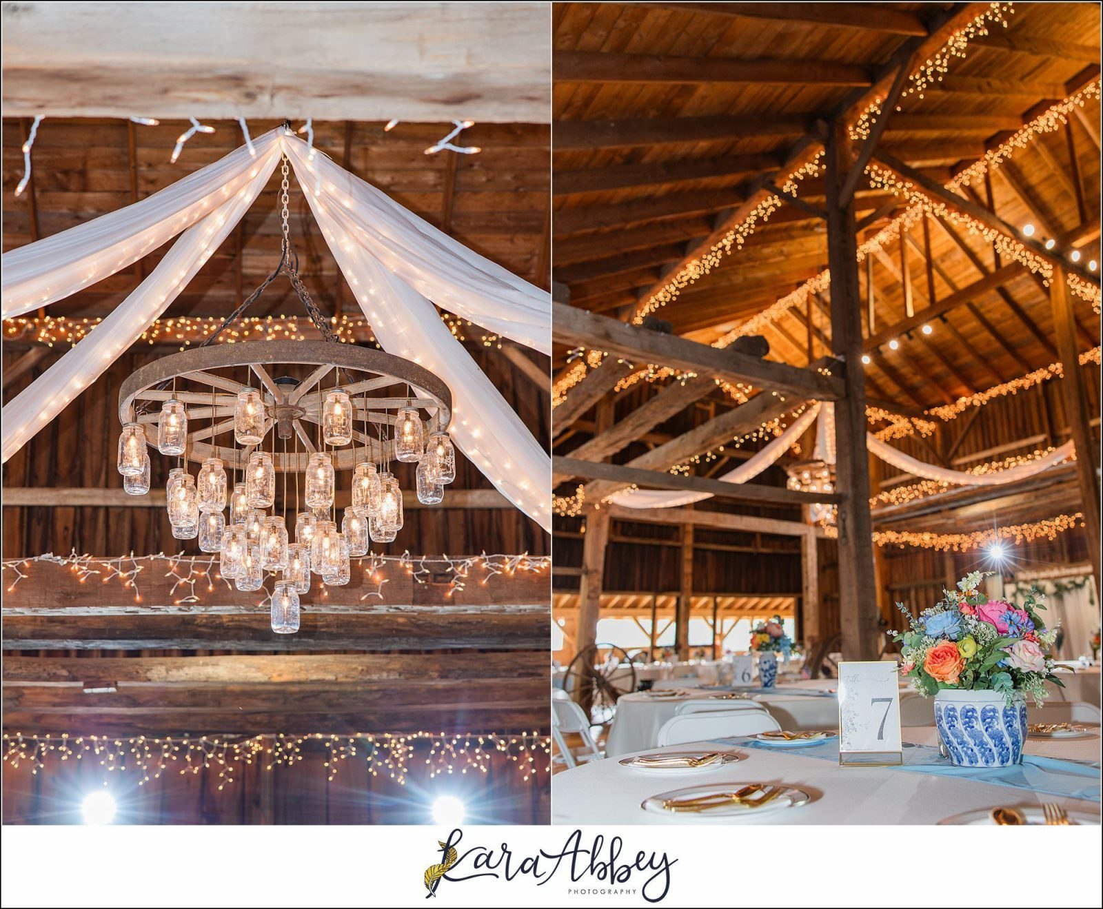
Strongest true-Shelocta rustic venue look.

Crooked Creek Lake

Best large-scale water and sunset option.

Keystone Lake / Atwood Access

Closest true reservoir option with local water access and quiet shoreline scouting potential.

Approved Locations

Each card includes map data, driving range, best-use notes, seasonal guidance, and three verified reference photographs or source-grounded visuals.

1

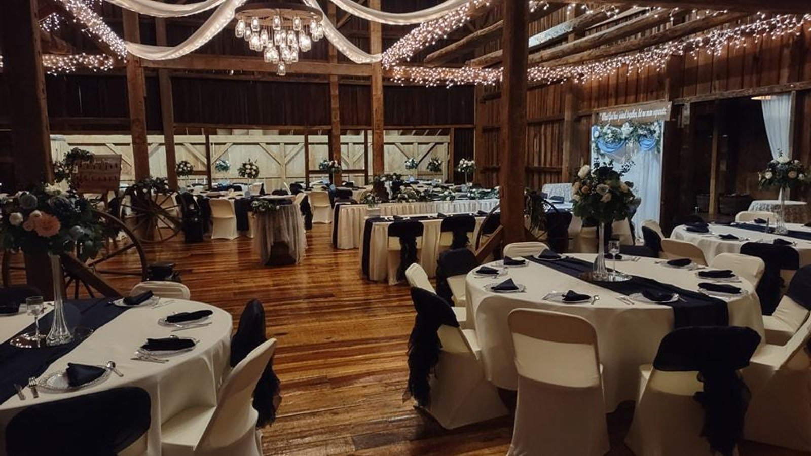
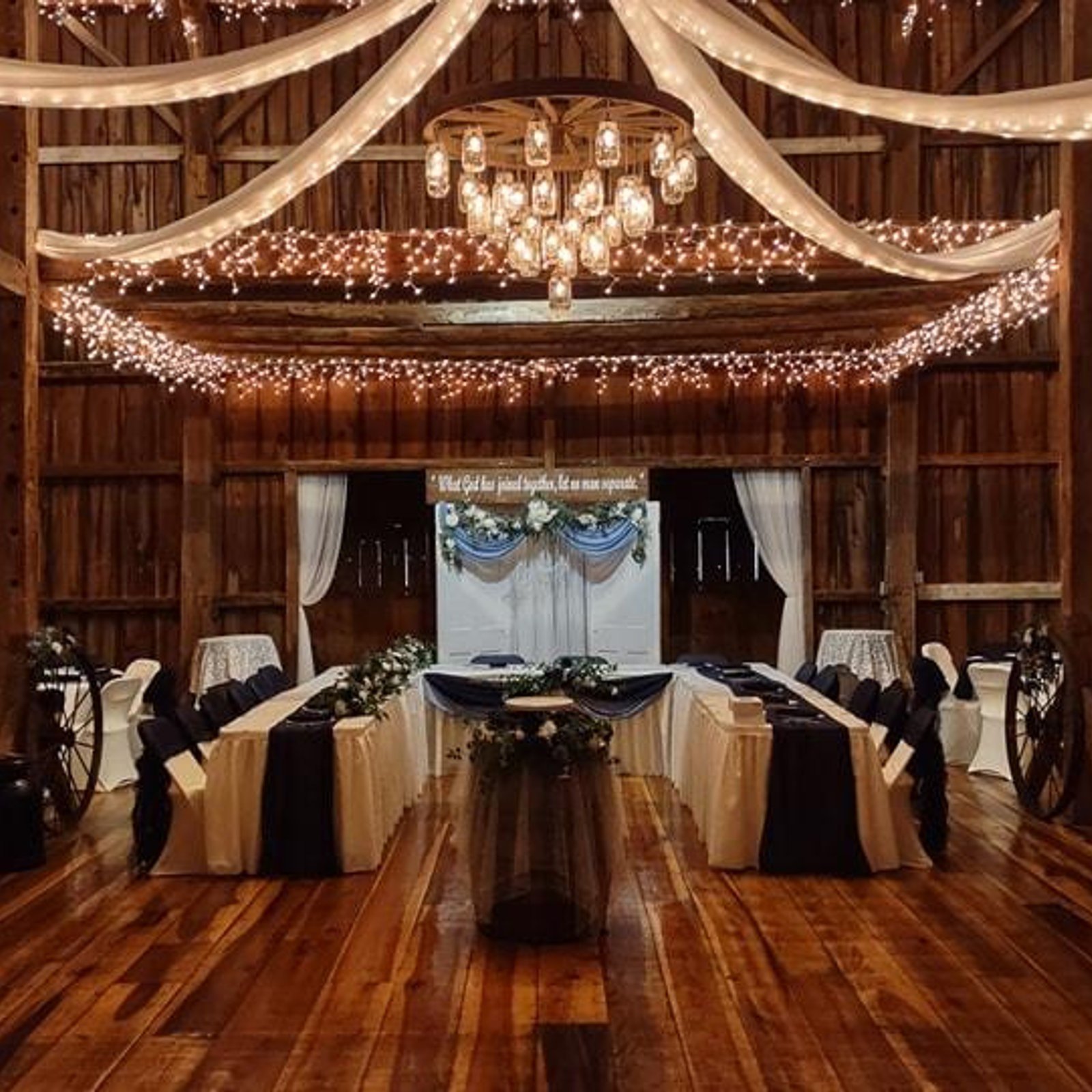
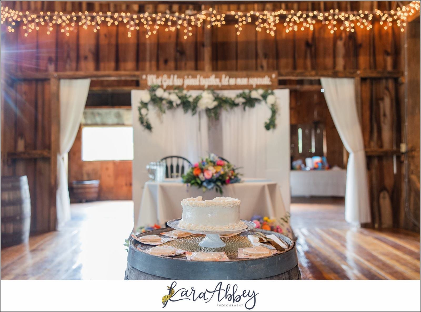
Fairman Family Farms

Rustic farm venue with barn architecture and open September fields.

Maps name
Fairman Family Farms
Address
2644 Millen Rd, Shelocta, PA 15774
Coordinates
40.676000, -79.309000
Distance
about 2-3 mi from central Shelocta
Drive time
about 6-8 min

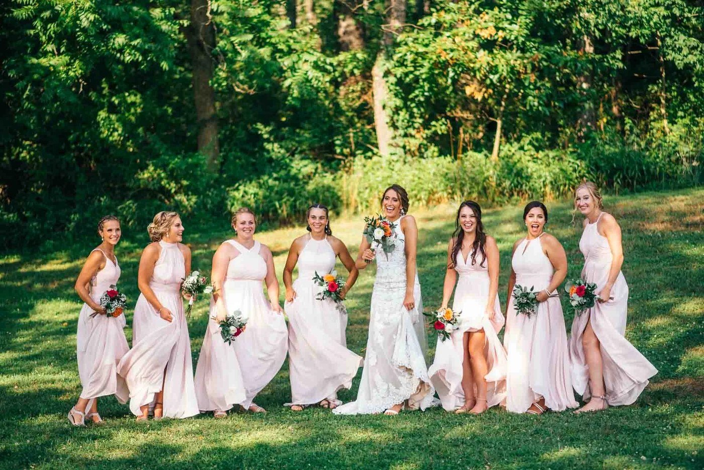
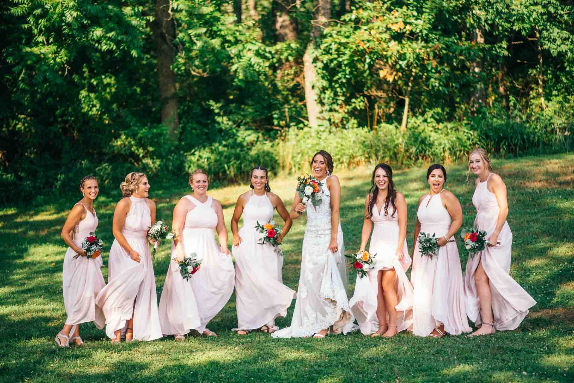
Best use: Bride and groom portraits, bridal portraits, bridesmaids, fall wedding-party details.

Visible features: Barn siding, open lawn, gravel approaches, farm edges, and soft country backgrounds.

Best angles: Use the barn face and lawn edges for clean formal portraits; place couples on the gravel lane or field edge for depth; use the wider grounds for small wedding-party groupings.

Late August/September: Late August and September should read warm and agricultural, with green-to-gold fields and early fall texture around the venue grounds.

2

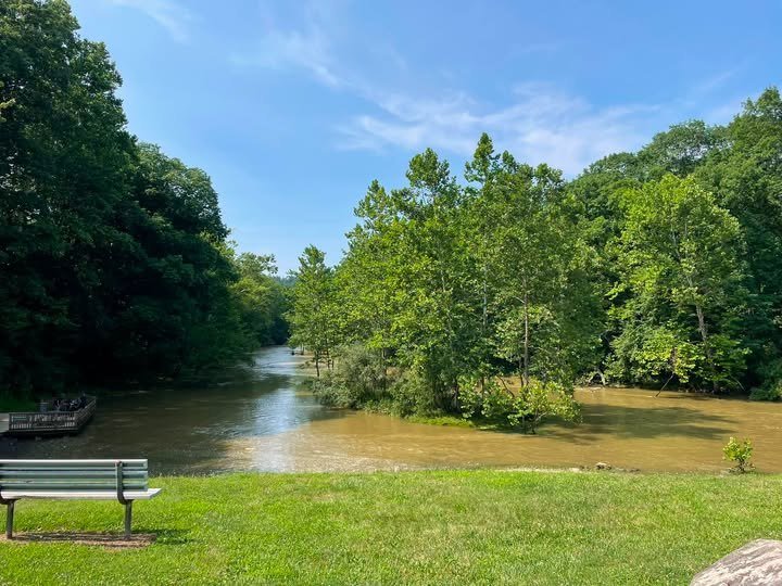
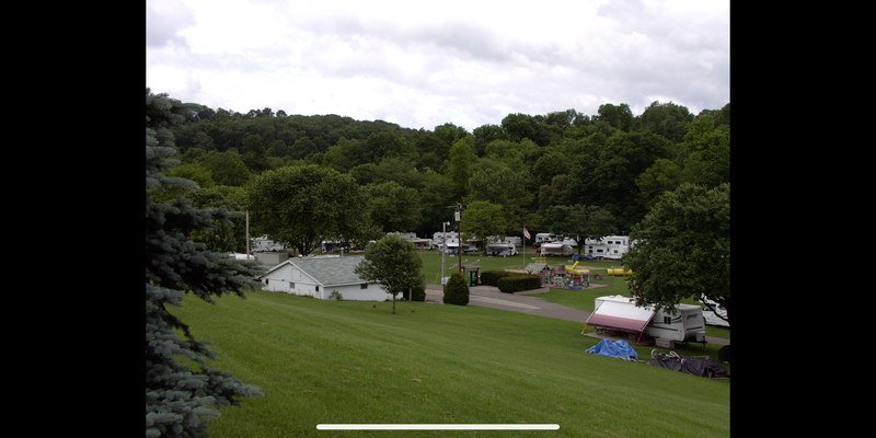
Wheel-In Campground

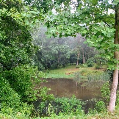
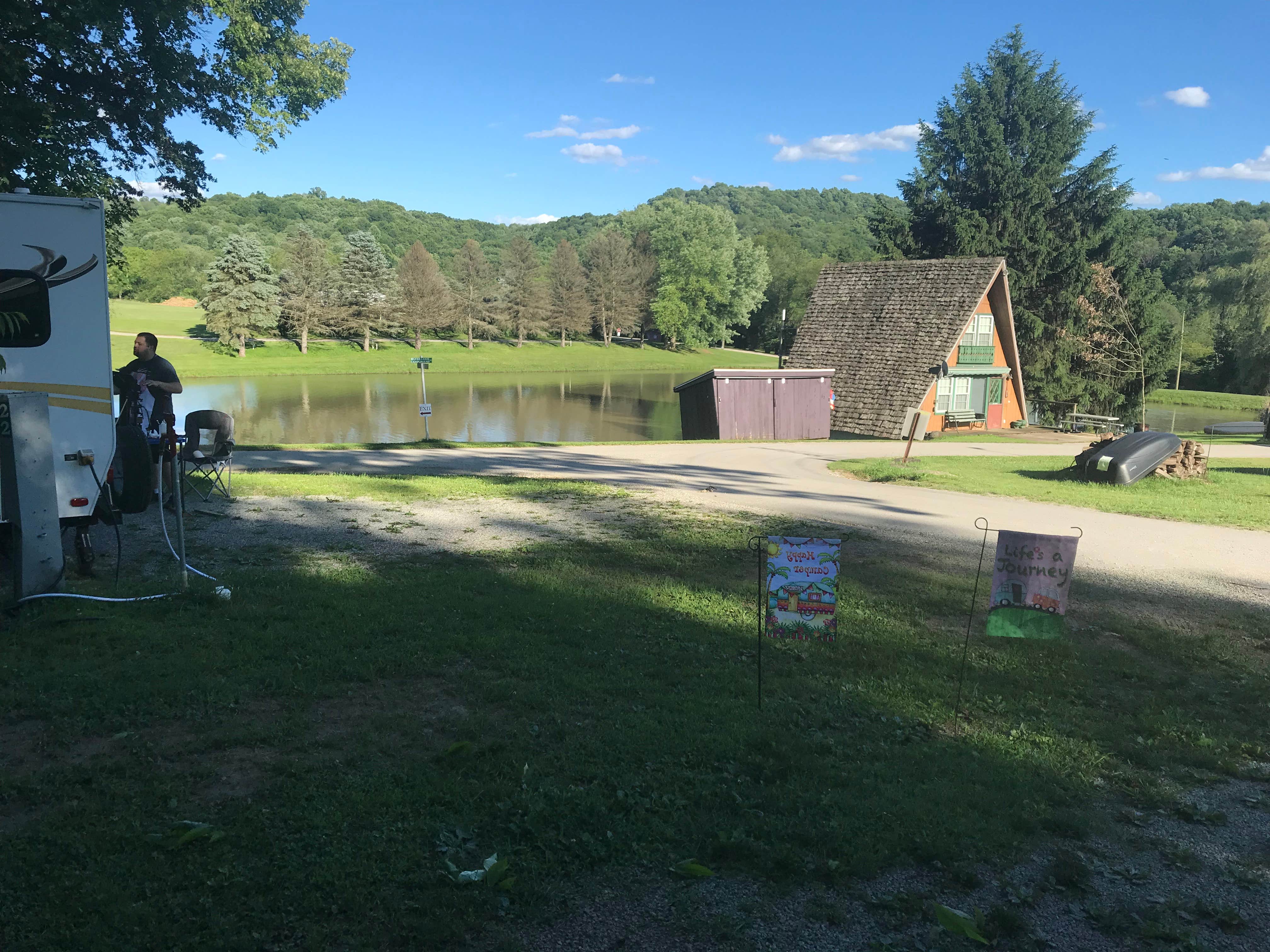
Local Shelocta campground with creekside trees, lawns, and rustic outdoor space.

Maps name
Wheel-In Campground
Address
113 Wheelin Camp Ground / Plumcreek Rd, Shelocta, PA 15774
Coordinates
40.679657, -79.333934
Distance
about 4 mi from central Shelocta
Drive time
about 8-10 min

Best use: Couple portraits, groomsmen, casual bridesmaids, small wedding-party sets.

Visible features: Tree canopy, water-adjacent campground roads, open grassy areas, and rural wooded edges.

Best angles: Frame subjects along the treeline and creek-adjacent clearings; use the open lawns for looser groups and the road curves for leading lines.

Late August/September: Expect green late-summer grass, shaded woods, and the first muted fall tones by late September.
3

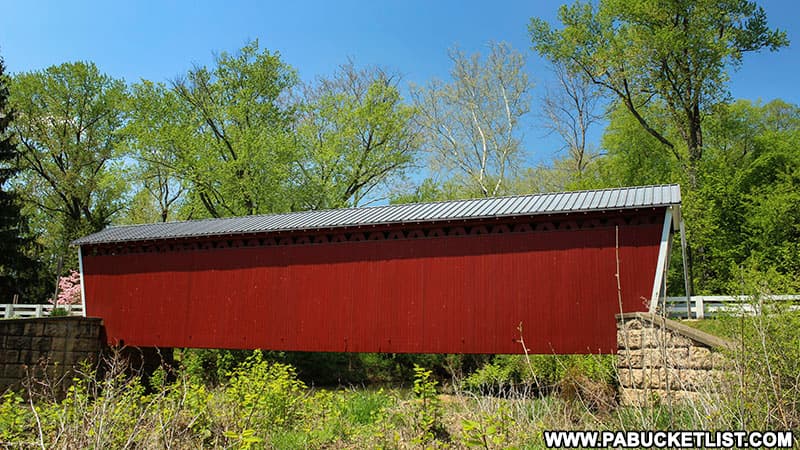
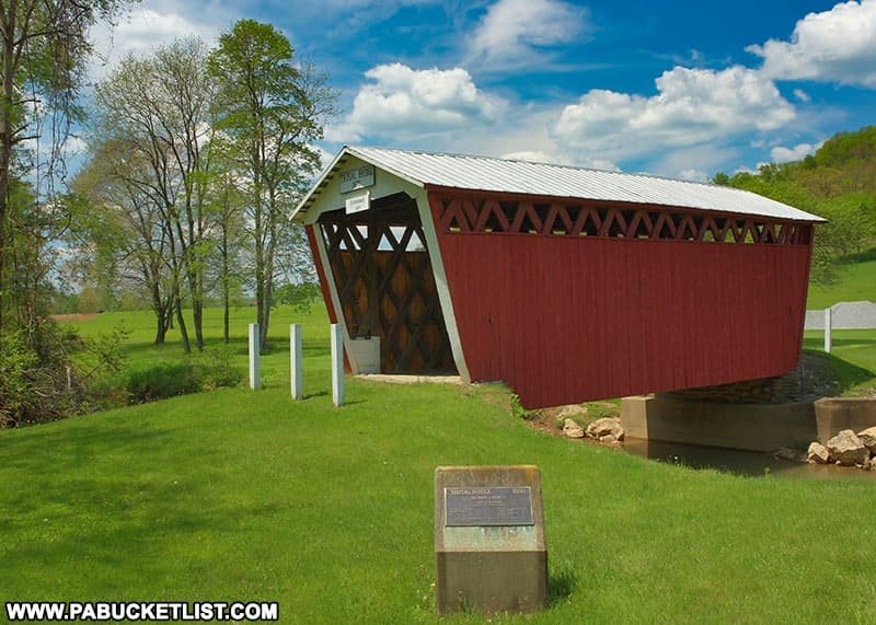
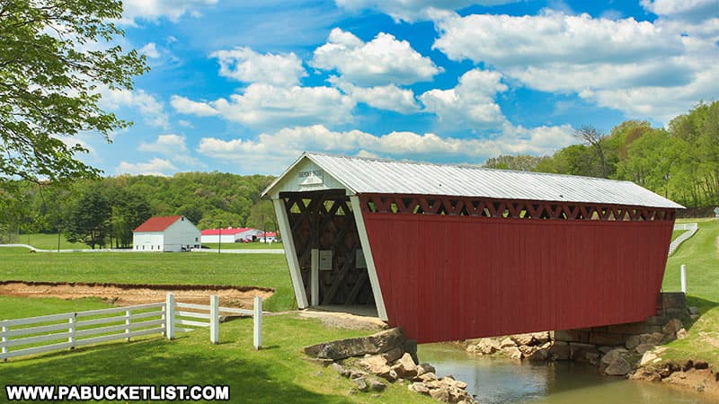
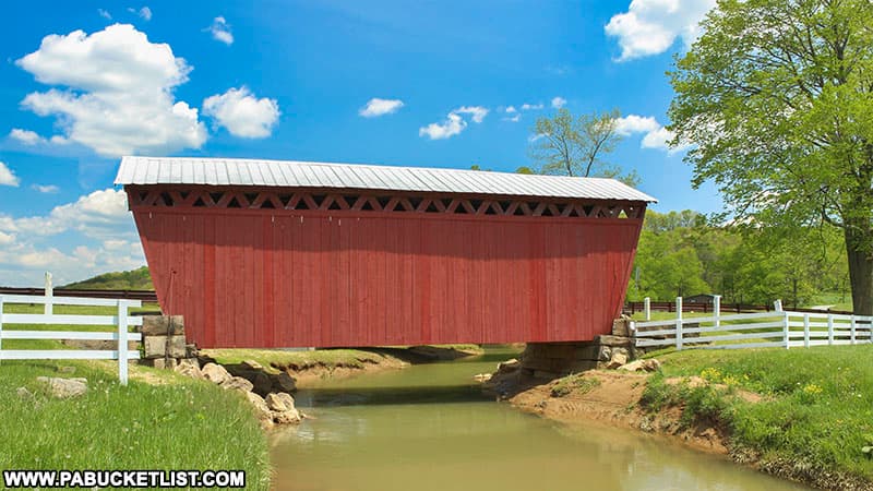
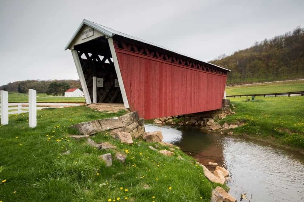
Thomas Covered Bridge

Closest covered bridge option, with red timber, trusses, creek, and stone abutments.

Maps name
Thomas Covered Bridge
Address
280 Thomas Covered Bridge Rd, Indiana, PA 15701
Coordinates
40.664409, -79.236871
Distance
about 5-6 mi from central Shelocta
Drive time
about 10-12 min

Best use: Bride and groom portraits, bridal portraits, groomsmen, smaller wedding-party groupings.

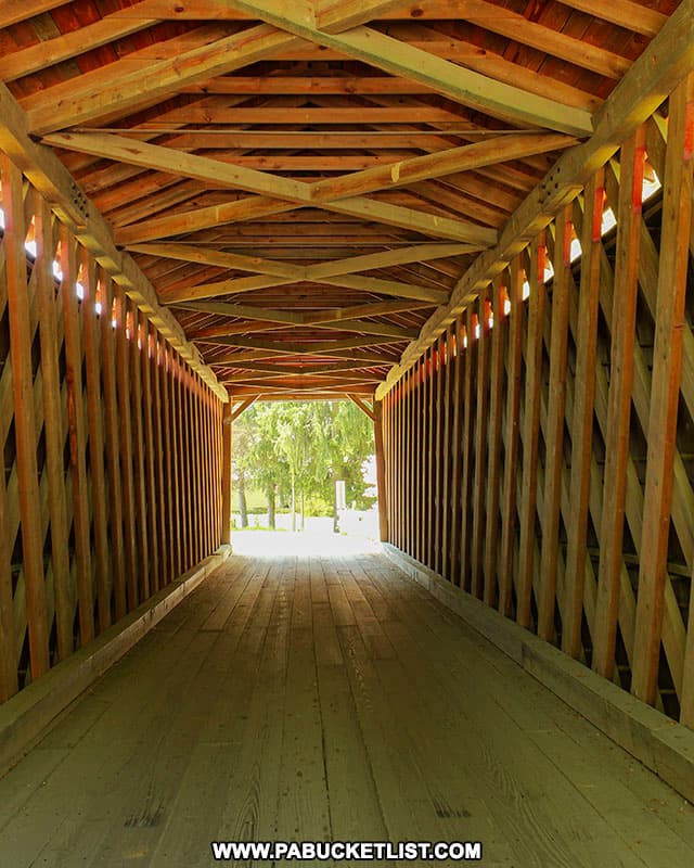
Visible features: Historic covered bridge, deep red timber, creek setting, truss interior, and wooded road edges.

Best angles: Shoot straight-on at the bridge portal, inside the trusses for graphic framing, and from the creek side for bridge-plus-water compositions.

Late August/September: In September, the red bridge should contrast strongly with green trees, late-summer creek banks, and early autumn color.

4

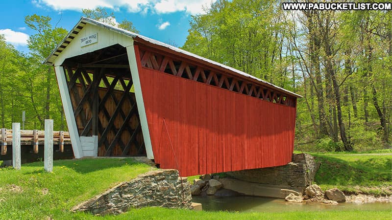
Trusal Covered Bridge

Quiet rural bridge scene with creek views and a compact historic structure.

Maps name
Trusal Covered Bridge
Address
1961 Trusal Rd, Creekside, PA 15732
Coordinates
40.730350, -79.184290
Distance
about 12-14 mi from central Shelocta
Drive time
about 20-24 min

Best use: Bride and groom portraits, groomsmen, intimate wedding-party photographs.

Visible features: Small covered bridge, creek corridor, wooded banks, and simple rural road context.

Best angles: Use downstream views for environmental portraits, bridge portals for symmetry, and side views for a stronger sense of place.

Late August/September: Late August should be lush; September adds warmer creekside color and a rustic fall character.

5

Harmon Covered Bridge

Distinctive covered bridge with clean side views and surrounding rural texture.

Maps name
Harmon Covered Bridge
Address
2725 Donahue Rd, Creekside, PA 15732
Coordinates
40.734030, -79.175530
Distance
about 13-15 mi from central Shelocta
Drive time
about 22-26 min

Best use: Bride and groom portraits, bridal portraits, groomsmen, small wedding-party sets.

Visible features: Covered bridge structure, red timber, country-road approach, creekside greenery, and layered side elevations.

Best angles: Use side elevations for full bridge context, the portal for centered portraits, and the road approach for walking images.

Late August/September: The bridge should hold strong color against late-summer foliage, with better fall warmth toward late September.

6

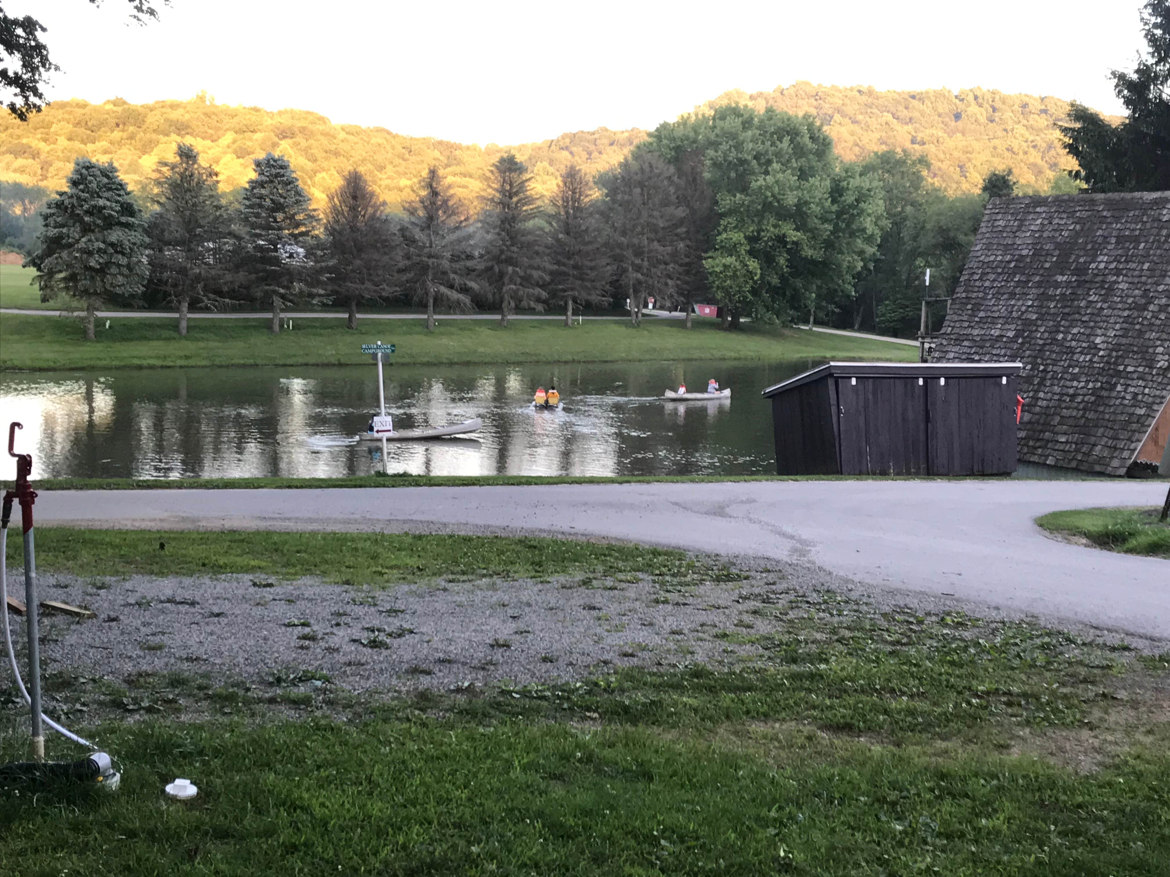
Silver Canoe Campground

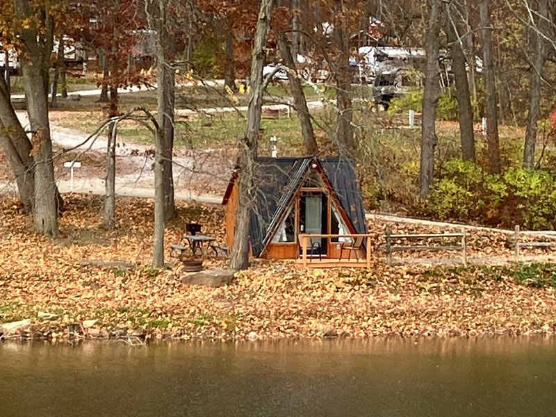
Riverside campground with cabins, water access, and broad outdoor settings.

Maps name
Silver Canoe Campground
Address
140 Silver Canoe Campground Ln, Rural Valley, PA 16249
Coordinates
40.770875, -79.240426
Distance
about 12-14 mi from central Shelocta
Drive time
about 20-24 min

Best use: Couple portraits, bridesmaids, groomsmen, casual full-party photographs.

Visible features: Riverfront and creek-adjacent areas, cabins, open lawns, gravel lanes, and wooded camp edges.

Best angles: Work along the water edge and cabin lines for rustic depth; use the open lawn areas for larger groups.

Late August/September: September should bring saturated greens, early golden edges, and warm outdoor-camp textures.

7

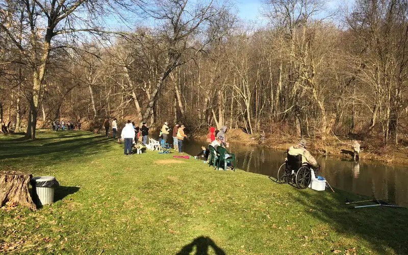
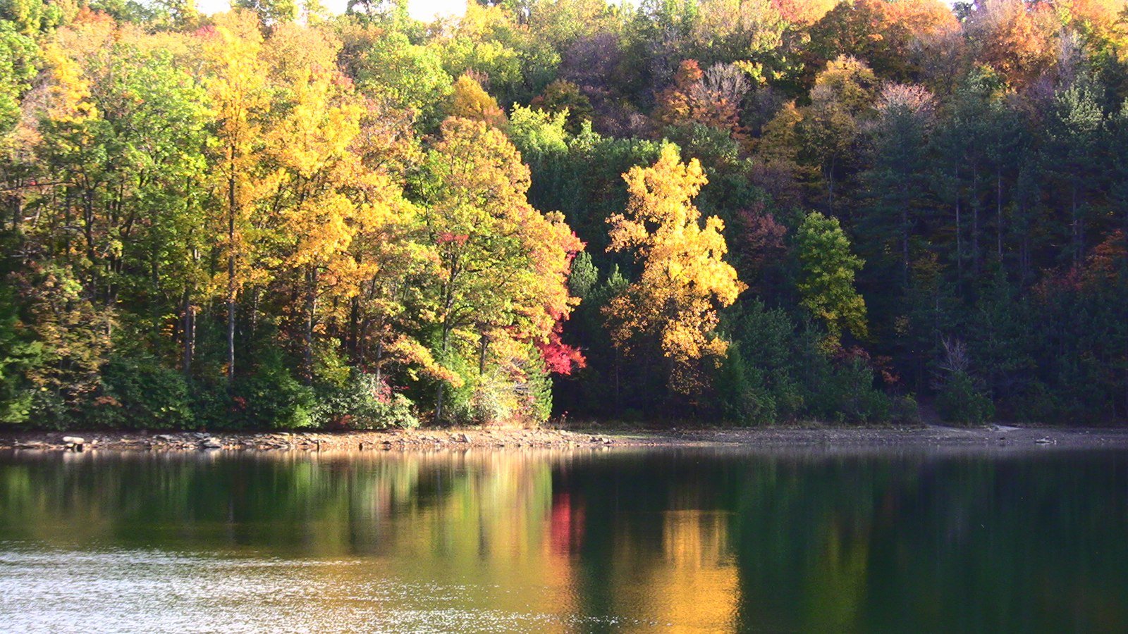
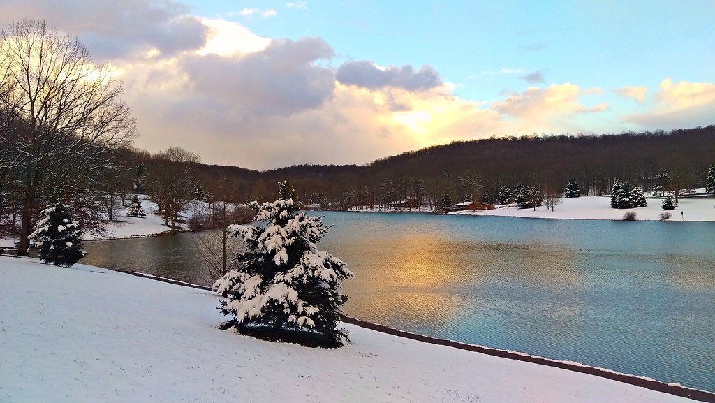
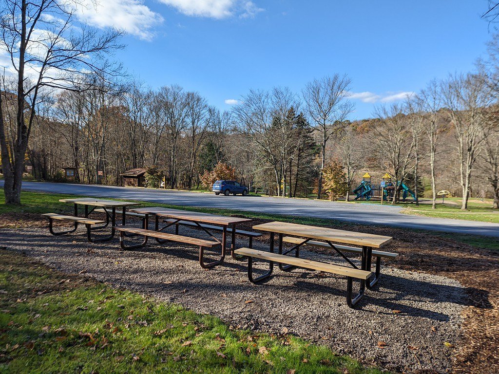
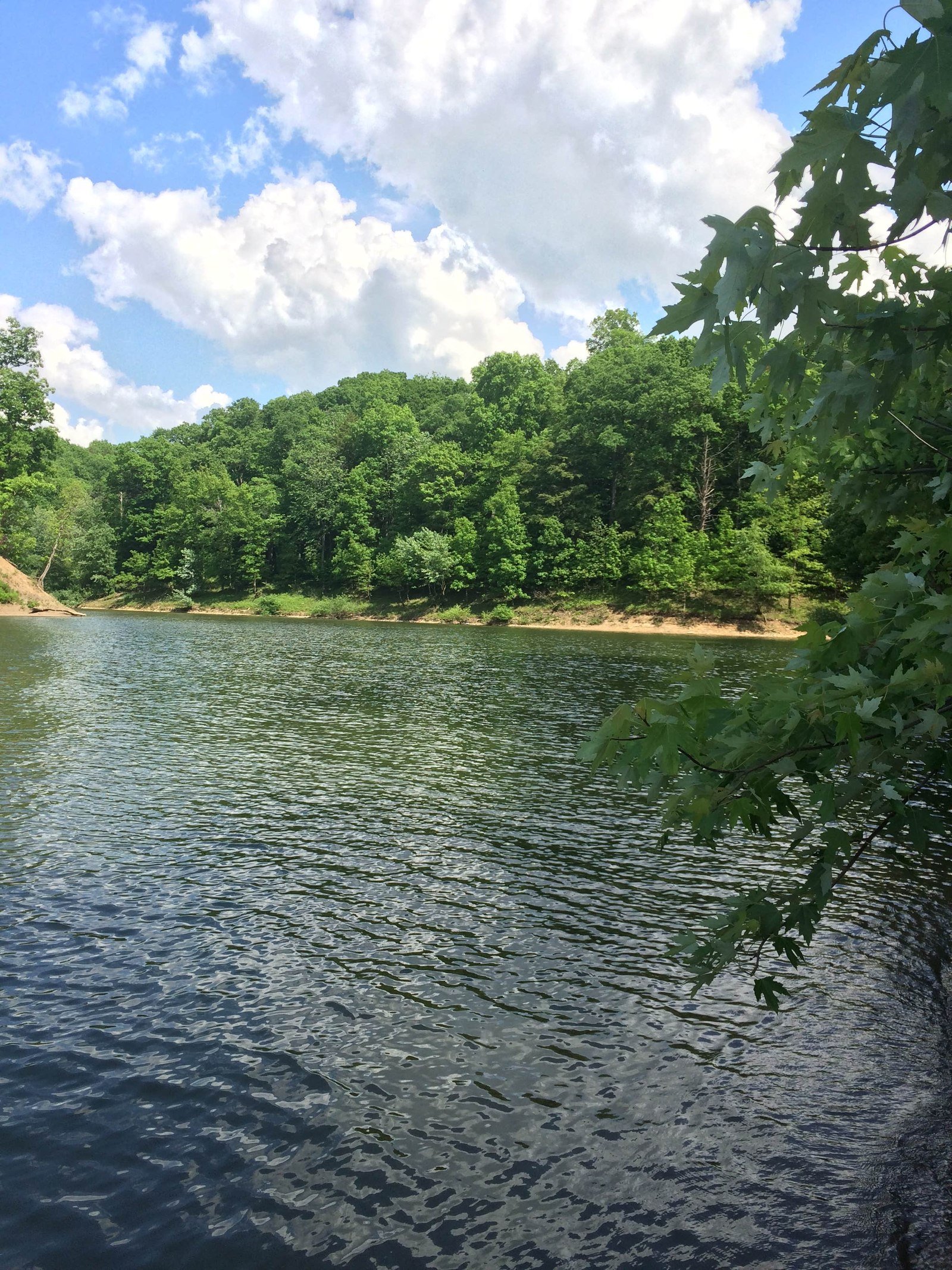
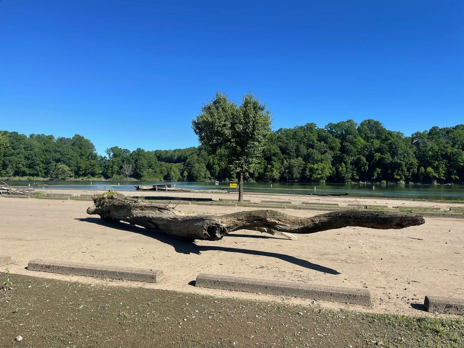
Blue Spruce Park

Best all-around public park option, with lake, lawns, trails, and fall color.

Maps name
Blue Spruce Park
Address
1128 Blue Spruce Rd, Indiana, PA 15701
Coordinates
40.691760, -79.159620
Distance
about 12-14 mi from central Shelocta
Drive time
about 20-24 min

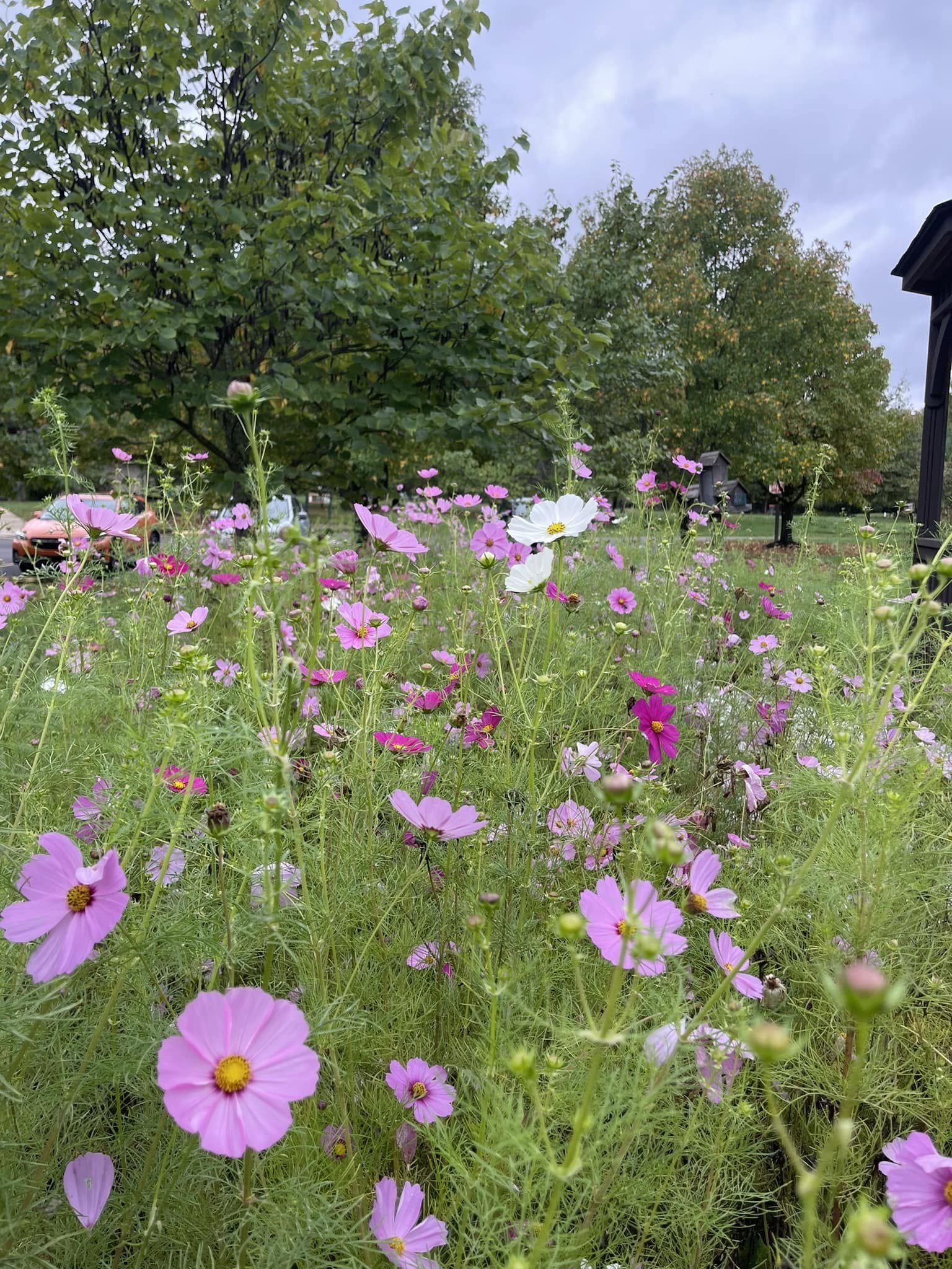
Best use: Full wedding party, bride and groom, bridesmaids, bridal shower portraits, fall-themed photographs.

Visible features: Lake views, mature trees, open lawns, paths, boardwalk-like edges, and broad public-park space.

Best angles: Use the lake as a clean horizon, paths for walking portraits, and mature tree clusters for shaded groups.

Late August/September: One of the strongest September choices: water, greenery, and reliable early fall color in one stop.

8

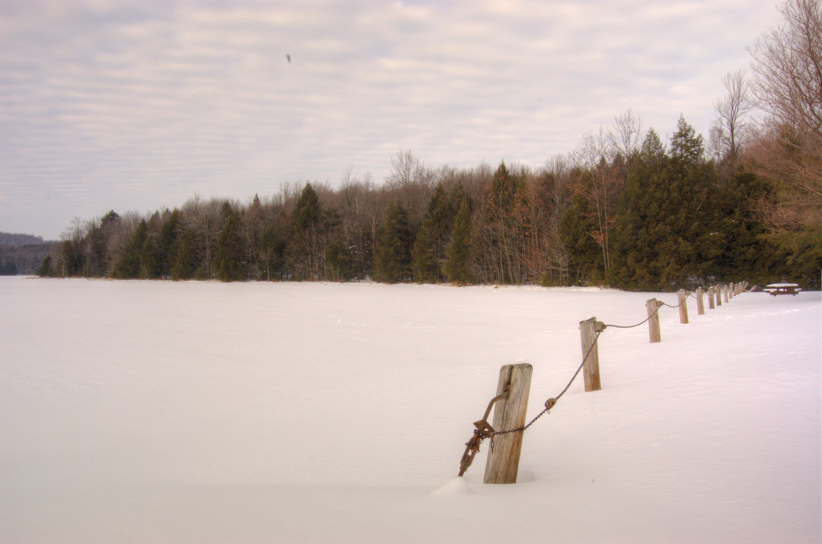
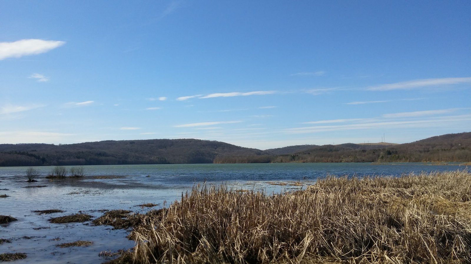
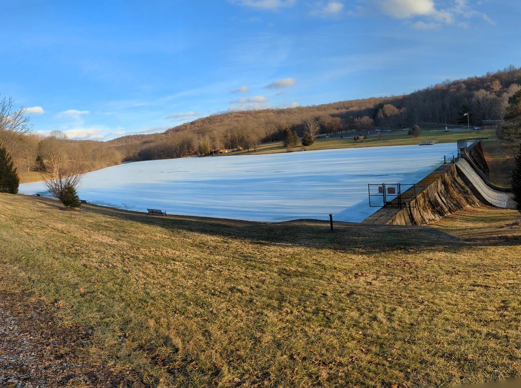
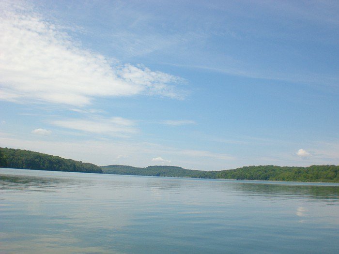
Crooked Creek Lake

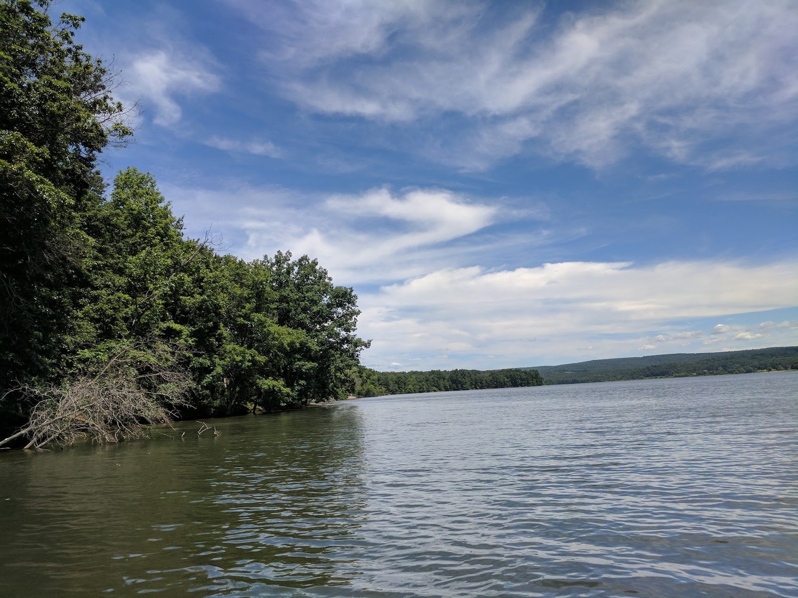
Large lake landscape with water, sky, wooded shorelines, and sunset potential.

Maps name
Crooked Creek Lake
Address
114 Park Main Rd, Ford City, PA 16226
Coordinates
40.714231, -79.508100
Distance
about 14-16 mi from central Shelocta
Drive time
about 24-30 min

Best use: Bride and groom portraits, full wedding party, groomsmen, fall sunset portraits.

Visible features: Expansive water, open sky, wooded shorelines, recreation roads, and broad scenic scale.

Best angles: Use lake edges for horizon-line portraits, wooded shorelines for depth, and open sky for late-day silhouettes.

Late August/September: Late August and September should offer broad green-to-gold shorelines and stronger sunset atmosphere than tighter sites.

9

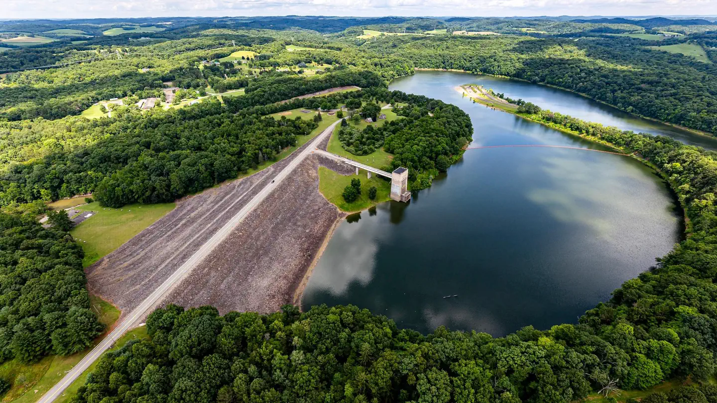
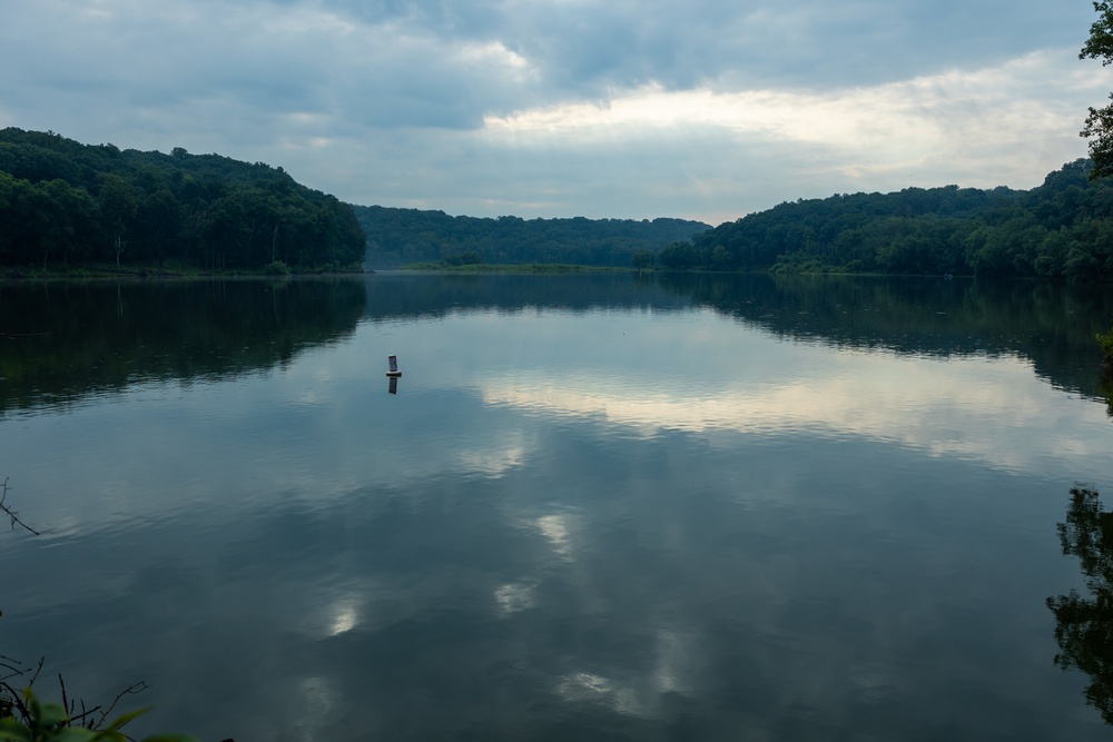
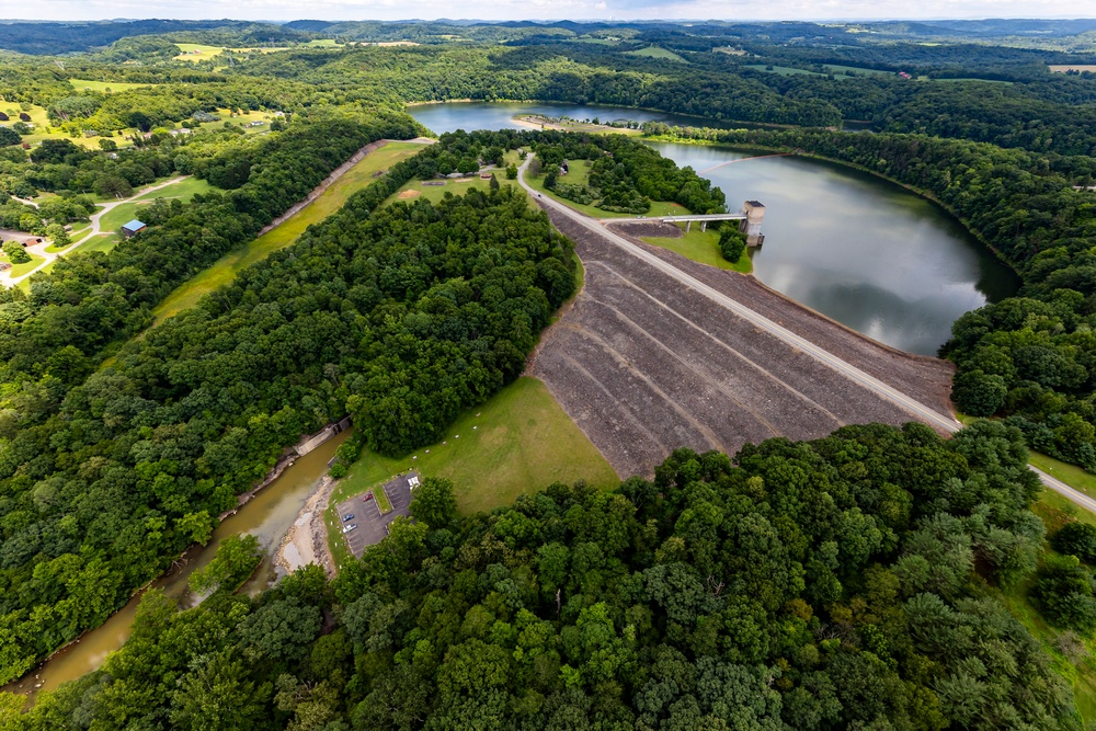
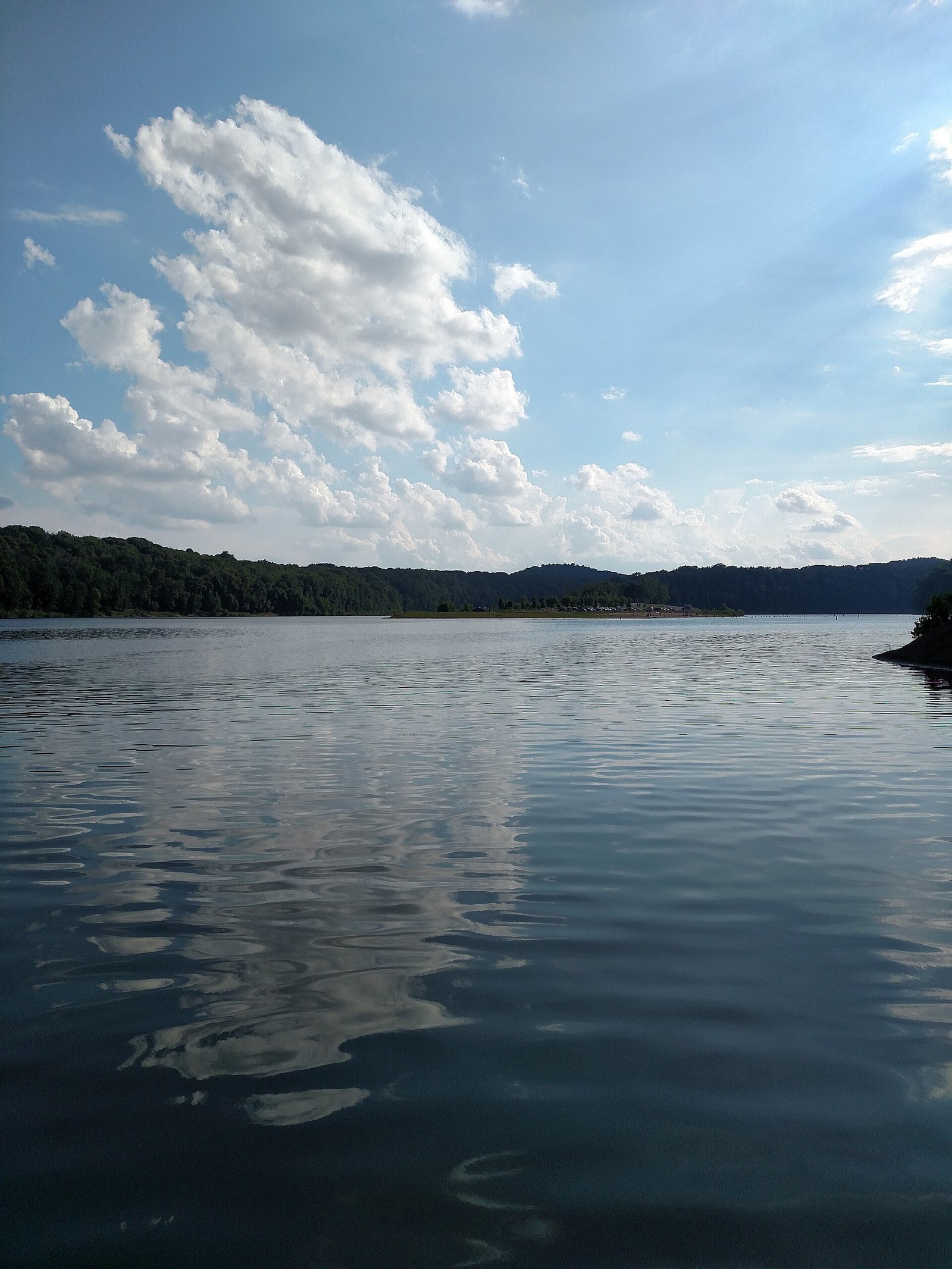
Keystone Lake / Atwood Access

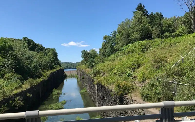
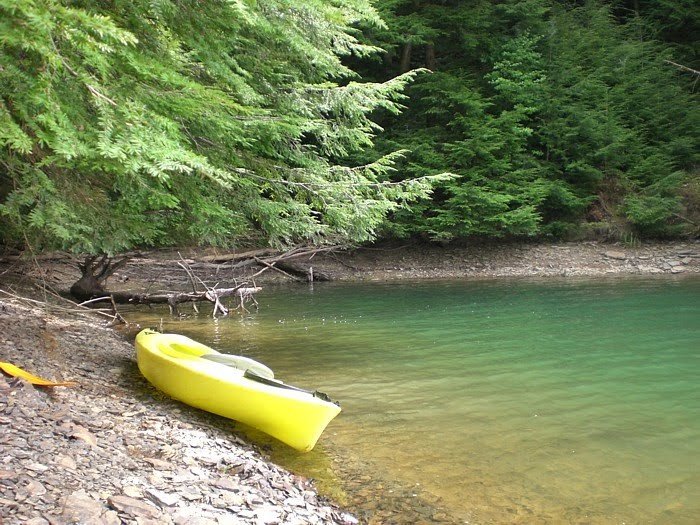
Local Armstrong County reservoir access with water, wooded banks, and quiet paddling/fishing context.

Maps name
Atwood Boat Ramp / Keystone Lake
Address
Atwood Boat Ramp, Plumcreek Township, PA near Rural Valley
Coordinates
40.757732, -79.283484
Distance
about 11-13 mi from central Shelocta
Drive time
about 18-22 min

Best use: Couple portraits, groomsmen, fall lake scouting, smaller wedding-party sets.

Visible features: Keystone Lake water access, boat-ramp approach, wooded shoreline, open sky, and calm reservoir coves.

Best angles: Scout Atwood first for waterline views and road-access practicality; also review nearby NuMine, Fisher Farm Road, and Reefer's Cove access points for cleaner shoreline angles.

Late August/September: Late August and September should offer green banks, warm late-day water reflections, and early fall color around the lake edges.

10

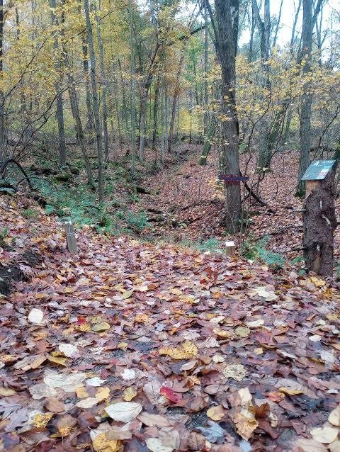
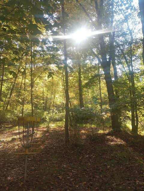
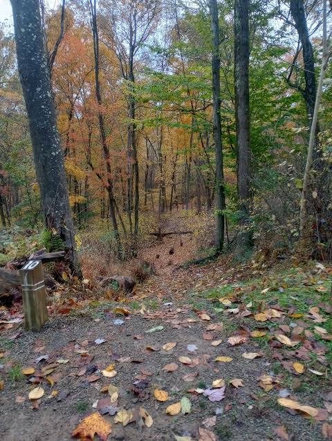
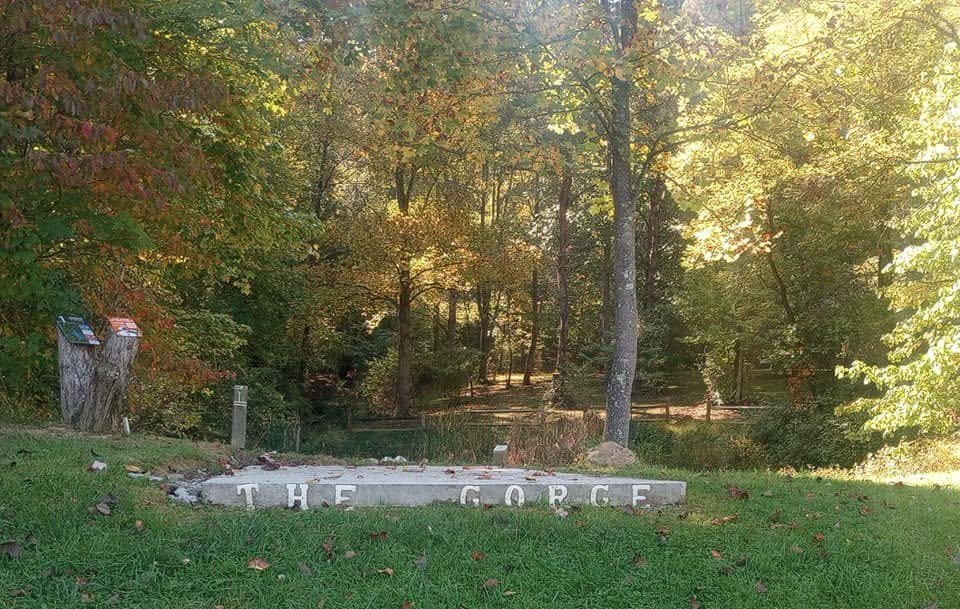
Whites' Woods Nature Center

Woodland trail setting with forest paths, meadow edges, and quiet natural texture.

Maps name
Whites' Woods Nature Center
Address
200 Forest Ridge Rd, Indiana, PA 15701
Coordinates
40.633480, -79.169190
Distance
about 13-15 mi from central Shelocta
Drive time
about 22-28 min

Best use: Bride and groom portraits, bridal portraits, fall-themed portraits, intimate wedding-party sets.

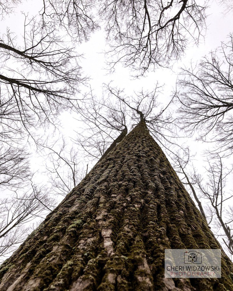
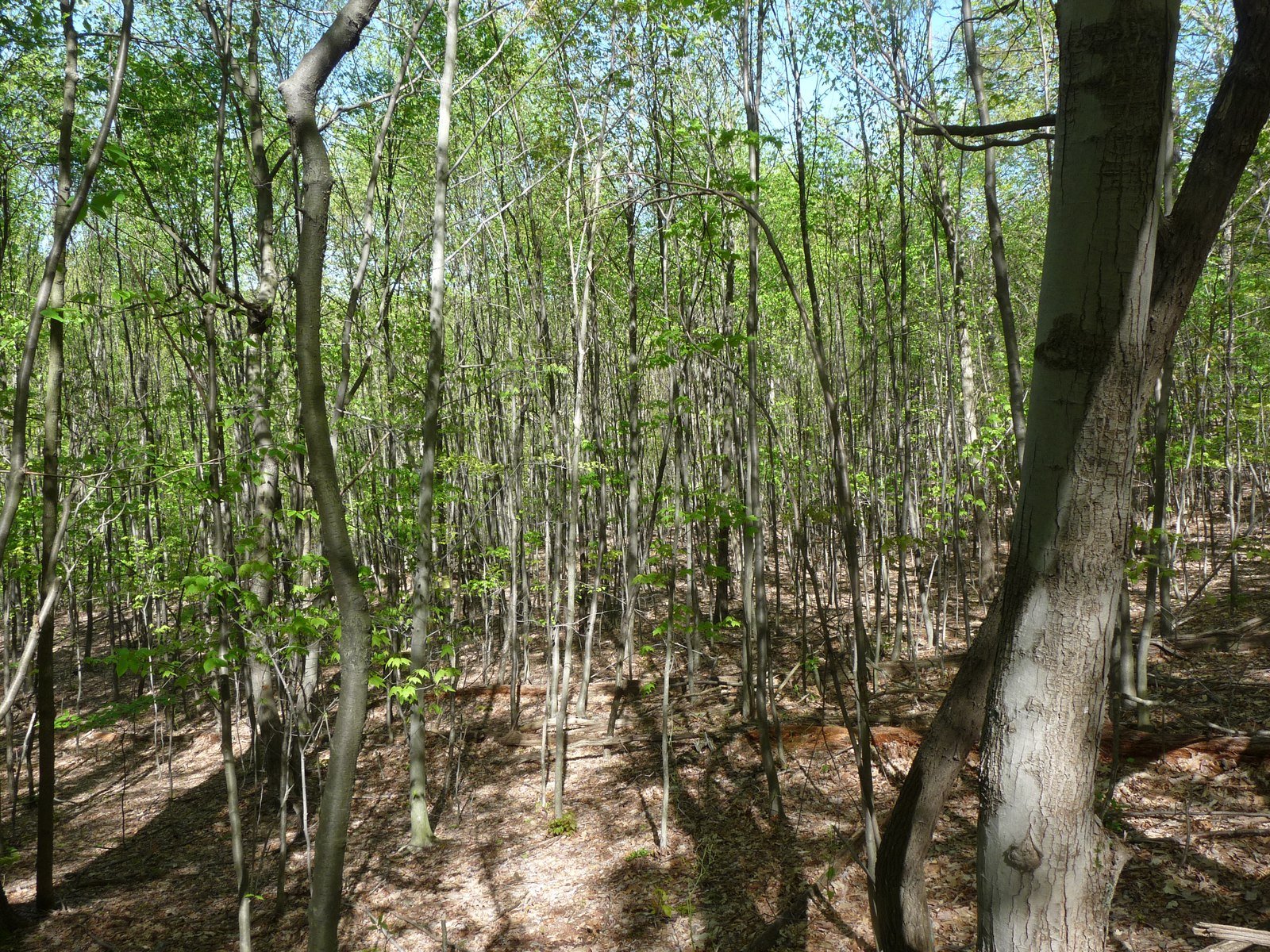
Visible features: Forest trails, tall trees, meadow openings, dappled light, and quiet nature-center edges.

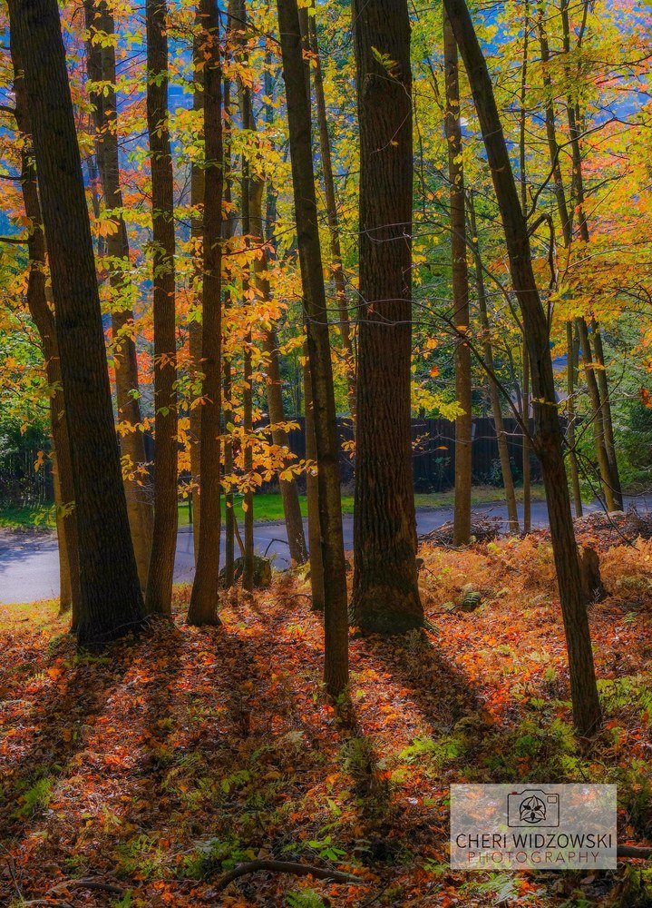
Best angles: Use trail curves for depth, meadow edges for soft backlight, and vertical tree trunks for simple natural framing.

Late August/September: Late August is lush and shaded; September should start showing golden understory and early woodland color.

Downloads

Everything needed for forwarding, importing, and checking sources lives in this package.

Polished PDF

Original mobile-friendly report with the map, location descriptions, and photo credits.

Download PDF

Sources and map data

Use these to import pins, audit source links, or rebuild the map.

Photo Credits

Reference images are linked back to their source pages or direct image sources from each gallery.

Quality-control note: this static package uses the same approved locations, verified coordinates, inspected images, and map numbering as the live preview and PDF package. No placeholder, stock, or AI-generated location imagery is included.